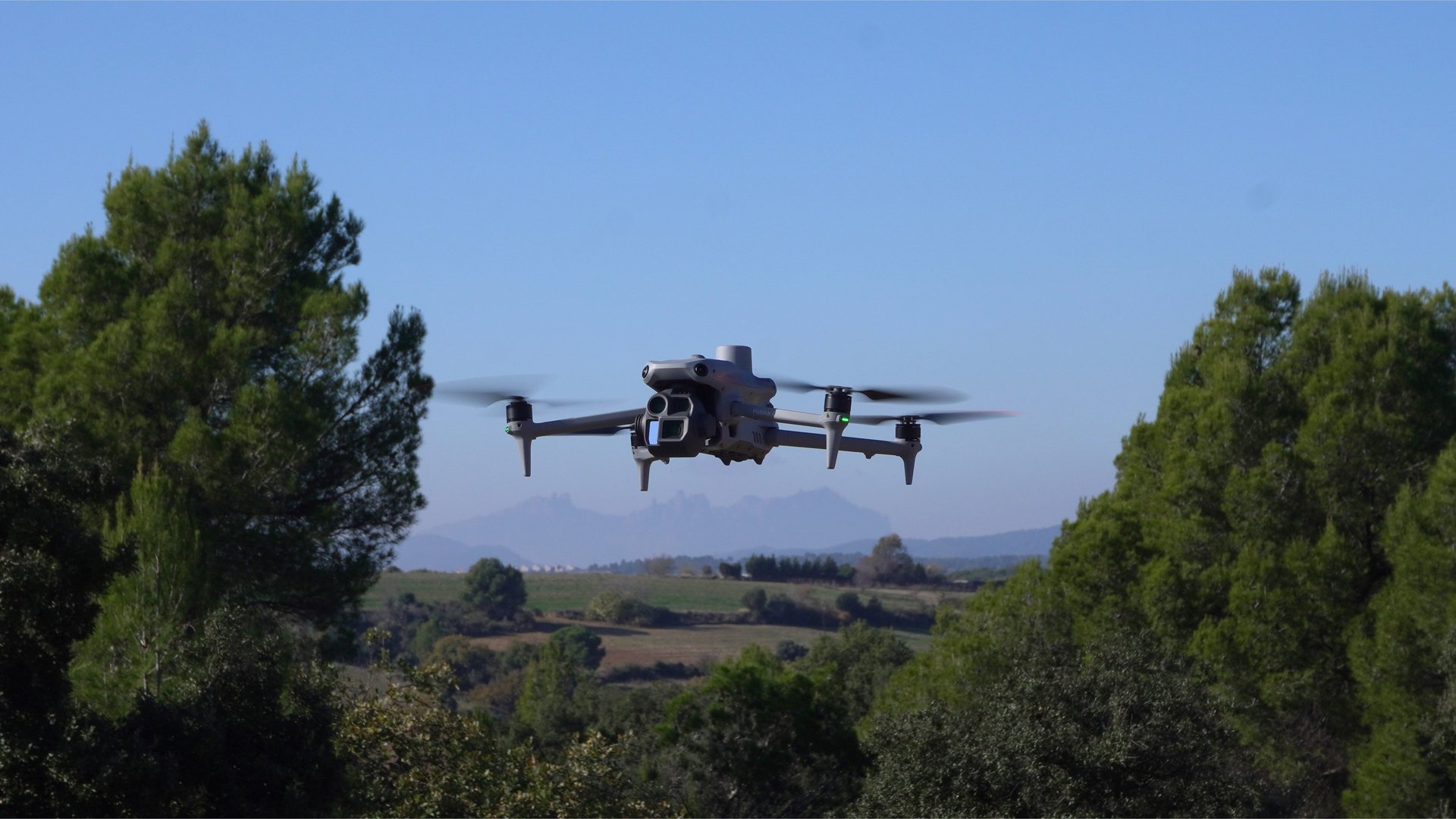
Aerial photography, photogrammetry and technical inspections to inform decision-making with accurate data
We don’t fly just for the sake of it. We fly to help you make better decisions.
At Alesdrone, we help businesses obtain accurate and useful aerial data to plan, monitor and make decisions with greater confidence and efficiency. We don’t just provide images: we provide data and professional-grade material that’s ready to use.
En Alesdrone ayudamos a empresas a obtener información aérea precisa y útil para planificar, supervisar y tomar decisiones con mayor seguridad y eficiencia. No entregamos solo imágenes: entregamos datos y material profesional listo para trabajar.
ALGUNOS DE NUESTROS PROYECTOS


Proximamente: Torre en Barcelona
Proximamente: Ortofotogametria en Cataluña para planteamiento urbanistico
Proximamente: Fotogrametría en Cataluña para moldeado 3D de unos terrenos


This action is promoted and subsidised by the Department of Business and Labour and co-financed by the European Union through the European Social Fund Plus
Alejandro Santos Torre
Manager | Operador UAV
+34 636 15 99 74
alejandrost@alesdrone.com
Terms and conditions
Cookie Policy
By signing up, you agree to receive marketing emails. Please see our Privacy Policy and Terms of Service for further details. You can exercise your rights and find out more in our Privacy Policy
Privacy Policy